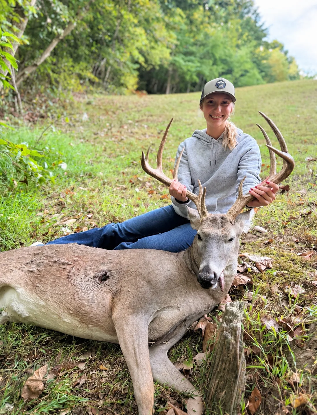
Meet Will, your East Tennessee recovery pilot.
Will brings hands-on deer recovery experience to East Tennessee searches. He works directly with you to understand the shot, the trail, and the places your deer may have traveled. That conversation gives the search a purposeful starting point and puts the details of your hunt to work from the air.
From the first call through the search, you speak with the pilot flying your property. Tell Will where the trail ended, what you've already checked, and what stands out about the land. Together, you can turn those details into a clear search plan.
A flight plan shaped by East Tennessee terrain.
Ridges, hollows, wooded slopes, and creek bottoms each call for a thoughtful approach. Will plans the search around the shape of the property, dividing the agreed area into manageable sections and choosing flight paths and viewing angles for the terrain. Your last sign and the direction of travel help set the first priorities.
Thorough coverage. Deliberate attention.
The aim is to give each part of the agreed search area careful attention. Planned passes, overlap between sections, and a second look at areas that need closer inspection help build a methodical search. Will works through the plan with attention to the transitions between slopes, timber, and open ground.
- Start with your last marked sign and the deer's direction of travel.
- Work through the planned area section by section, with overlapping views.
- Check connecting ground, drainage routes, and the edges between cover types.
- Revisit areas that deserve another angle or closer inspection.
Thermal imaging with a purpose.
DJI Matrice 4T thermal imaging helps Will look for temperature differences from above, while the drone's visible-light camera offers another way to inspect points of interest. The technology supports the plan; attention to your trail and the property guides where to look.